Application of Drones in Urban Planning and Management
Drones have come to be known as the technology that is changing conventional practices in different industries. In urban planning and management, drones have proven to have enormous potential. It is because the drones are not manned that complements this view and creates an opportunity for meaningful data provision, which can be used to make a vital decision-making process in streamlining urbane development.
Surveying and Mapping
Camera drones, like Bwine drone having high-resolution optics and sensors are capable of generating aerial photography with fine details over urban terrain. The ability makes it possible for urban planners and developers to produce accurate topographic maps and 3D models. This information helps professionals understand what is already in place, anticipate challenges, and consider developments better. This degree of accuracy and performance saves time and money in the end, resulting in better urban development.
Data for 3D models and topographic maps can be collected by drones. Topographic maps give urban planners, architects, and engineers precise information on land elevation, contours, and trends that they need to properly build their projects. The creation of three-dimensional models from drone photos makes it easier to visualize and simulate topography, which streamlines infrastructure project planning.
Infrastructure Inspections
Conventional urban infrastructure inspections, such as those of bridges, other roadways, and buildings, can be time-consuming, expensive, and in certain situations even dangerous. Drones equipped with sensors and thermal imaging cameras may safely and quickly assess these structures. Drones can remotely detect structural flaws, heat leakage, and building conditions using high-resolution photography. By using this data, engineers and urban planners can preserve asset safety by anticipating maintenance needs and taking proactive measures to address them.
The information gathered via drone while conducting infrastructure inspections can be further analyzed and manipulated using sophisticated software. This makes it easier to carry out precise evaluations, identify patterns, and develop detailed reports. By using drone inspection technology, infrastructure managers will be empowered to reach data-driven insights on maintenance and repairs necessary for improvements in asset management.
Traffic Management
Traffic control is an ongoing problem in most cities. Traffic patterns monitoring and analysis can be effectively conducted using drones. Armed with sophisticated computer vision algorithms, drones can create live feed videos; and identify congestion areas and the sources of such traffic jams as potential bottlenecks. This data can be used to ensure proper synchronization of traffic signals, efficient road infrastructure planning, and development of effective transport systems. With the implementation of drones in traffic control, cities can reduce congestion and improve safety thereby enhancing mobility.
In addition, drones can help in road planning and road construction. Through the process of capturing aerial footage and assessing traffic patterns, planners can develop an understanding of road networks as well as the overall transportation systems that exist. This data may be used to determine areas that need development, improve the timing of signals, and also lay future infrastructure designs geared towards satisfying growing traffic demands. Through the use of drone technology, cities can create more practical and environmentally friendly systems for transportation.
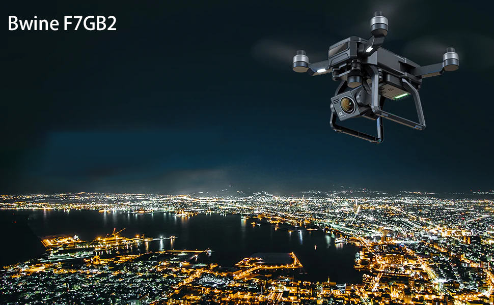
Drone usage is revolutionizing the field of traffic management. Drones like Bwine F7GB2 can carry out real-time video recording, and traffic pattern analysis as well as make necessary interventions to curb incidents by providing detailed information on measures that enhance mobility. Cities can benefit from drone technology in the advantages of using data-driven decisions, enhancing road safety, and developing complex traffic systems. Given the rate at which drone technology has been rapidly developing, it is reasonable to suppose that more innovative applications of traffic management will emerge and take us toward smart cities.
Disaster Management and Emergency Response
When disasters occur and during emergencies, time is vital. Besides drones, it is necessary to prepare the affected areas with thermal cameras; sensors, and telecommunications devices through which can be quickly assessed impact zones. With these air vehicles, you help reach inaccessible locations and evaluate damages planning rescue operations more efficiently By using drones in disaster management, preparedness can be enhanced which minimizes risks and timely manages disasters by urban planners.
The application of drones in disaster management and emergency response has significant job potential. First of all, the fact that they can conduct operations in remote and dangerous environments when disaster strikes, perform search rescue missions or deliver relief supplies to save lives by mitigating their effects is an indication of how valuable these aircraft are. As technology develops and people obey the rules, drones will play a leading role in emergency management.
Environmental Monitoring
However, urban planners are worried about environmental sustainability more and more. Multispectral drones observe air quality, pollution origins, and vegetation health. This data can help to identify areas in need of environmental cleanup and management. Through the integration of drone technology into environmental monitoring, urban planners can come up with smarter and more eco-friendly cities.
In addition, drones can data gathering at various spatial and temporal scales. This feature enables researchers to keep track of environmental changes over time and identify trends as well as patterns. Such information could be employed in measuring the extent of climate change, appreciation of ecology dynamics, and application to conservation.
Environmental monitoring is now no longer the same because drones have made it easier to collect and analyze data. They are unique in that they can reach into distant regions, view vast landscapes, and trace the overall condition of nature. Their knowledge intangibly contributes to understanding, managing, and preserving our ecosystems Technology is developing rapidly, and drones are going to be more important recently for environmental research, conservation as well and sustainable resource management.
Conclusion
Drones revolutionize urban planning and management as they are used in the construction of cities. Through surveying and mapping to traffic control and disaster management, drones offer vital information based on which decisions are made or operations conducted more efficiently. With this technology still growing at a rapid pace drones would become more and more important for smarter, efficient, and sustainable urban environments.
Stay updated with Bwine for more drone-related information.


